I have been thinking a lot of late about Melbourne International Airport lately. I regularly visit there as my wife travels frequently for her job. I often collect her and occasionally drop her off. I also love flying and aeroplanes generally. The history of the creation and development of Melbourne International Airport, or Tullamarine, is well documented. I can add my own history of the place too. I was a young boy when construction wound down. I used to ride my bicycle there and wander around and explore. There was a working model of the airport showing how the ATC operated with moving models, and commentary. Which I have fond memories of.
While I do not currently live in the same postcode as the airport I am very close and can easily get there in a matter of minutes if the light beckons. Sometime in 2019 I decided to start visiting the edges of the airport to try and make interesting pictures, or perhaps document the changes as they occurred. I started the idea using colour. I have shot about six rolls of 120.
A day or two ago I went in search of more pictures near the airport. I took several cameras. But made no pictures on colour film of the edges of the airport. Using a DSLR I managed to scope some good spots that might be worthy of a revisit. One of the ideas that are floating in my mind as I think about this place is the use of the land on the edges of the airport, where does the airpot begin and end, how is it defined.
The edges of the airport are predominantly industrial as the nearest suburb is Gladstone Park on the southern edge. Sunbury is on its north western edge and Avondale Heights on its Southern edge. The industrial land close to the airport is mostly distribution centres with some training and maintenance facilities. These are ordinary concrete structures reminiscent of Lewis Baltz’s work ‘The New Industrial Parks near Irvine California’. I am hoping to avoid making picture of these. I’m more interested in how the land is used in an area that has largely been frozen in terms of development since the airport was constructed in the late 1960s.
The airport has its own postcode. Which makes preplanning visits easy. As I grew up in the area I have a knowledge of the environment that few would recognise. As a cab driver in my mid 20s. I learned all about accessing the airport from every direction too. I am using all this knowledge to visit and revisit areas in and around the publicly accessible areas of the airport. My current process is just wander/drive and see what turns up.
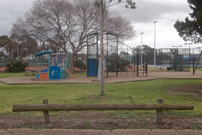
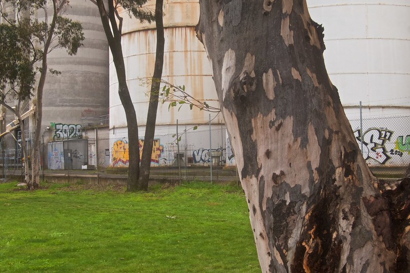
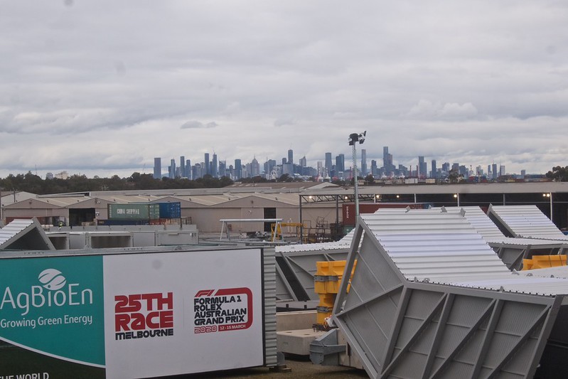
The image above, hosted on flickr is an example of that research.
‡ Website | Flickr | Instagram | Photography links | Twitter | Tumblr ‡